Tuesday, July 16, 2013

71>71 Jim --- 7/16/13

Mt. Jim is not an AMC  4000 Footer.  It doesn't rise 200 feet above it's connecting ridge with Mt. Mooseilauke (and/or Mt. Blue.)  But it is 4172 feet high, rises 100 feet off it's ridge and it has a trail to within a few feet of it's summit, so it's on my 71>71 List.  It also perfectly fit the bill for a peak to climb today.
The past few days have been hot and humid and today was forecast to be the same.  I am not a fan of "hot and humid" but I did want to climb today.
So Jim, by way of Beaver Brook and Asquam Ridge Trails was an easy choice ----- up a north facing, well shaded ravine along side a brook with many waterfalls, then a short walk along a wooded ridge to Jim's summit.  Likely cooler than a lot of other more sun exposed trails today ---- and it's short.  Only about 4.4 miles round trip.
However, gaining about 2400 feet in 2.2 miles makes for a steep trail ----- and Beaver Brook is that!


Steepness itself doesn't bother me but the monotony of going straight up then looking ahead to more of the same does become wearisome.  The many cascades and waterfalls right at trail's edge on Beaver Brook, however, easily break any monotony.


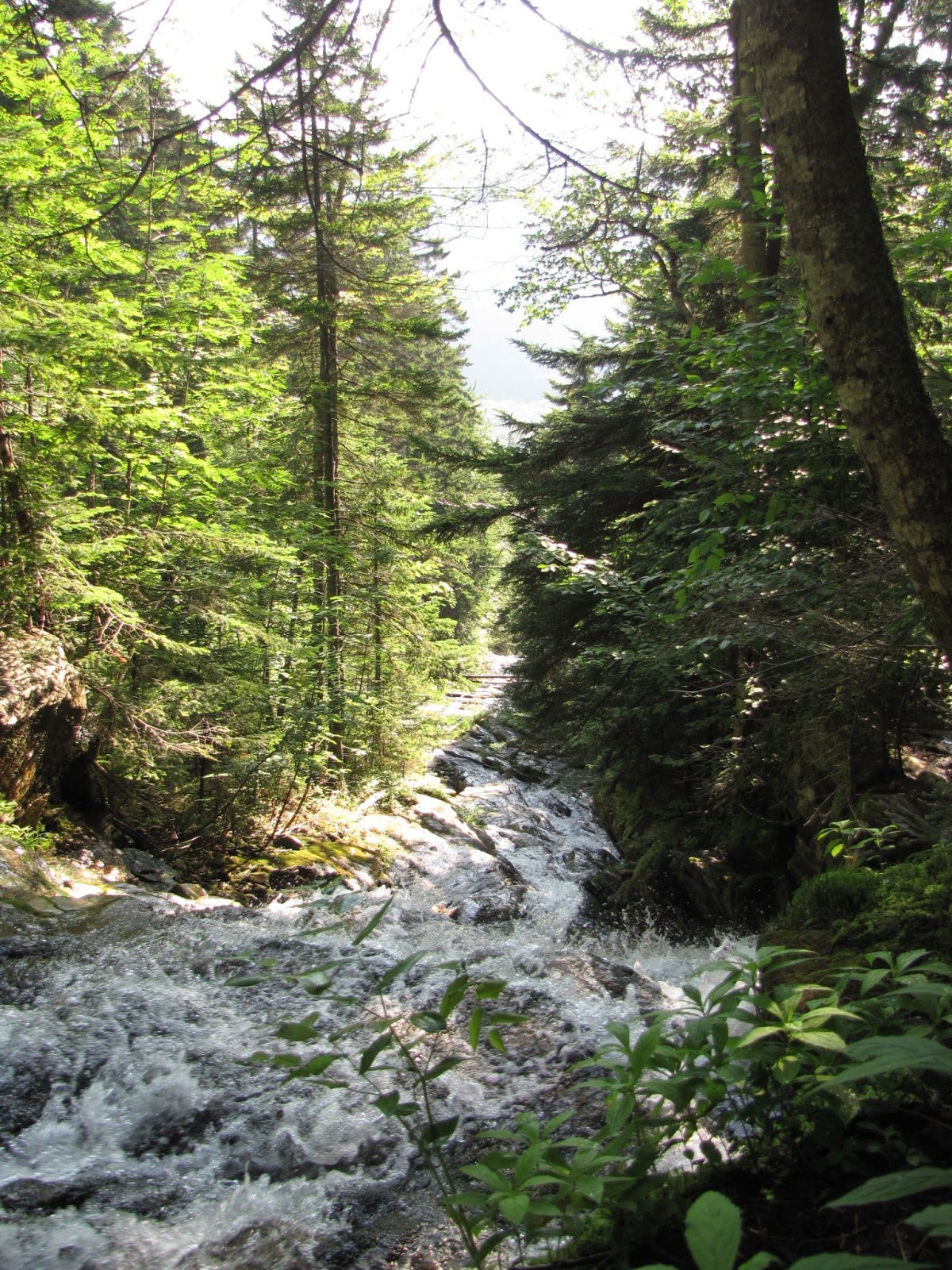
Another interesting feature of Beaver Brook is the trail making skill that has gone into it's construction.  I was intrigued by the fact that at some point a trail maker had to bushwhack their way up along the brook and after seeing all the obstacles, still be willing to begin building it ---- so that the rest of us could have access to the beauty in that tight little ravine.


I was also awed by someone's more recent artistic skill (I didn't touch them!)


Jim's summit was anti climatic, but the ridge walk just before it was nice and a breeze kept it comfortable.


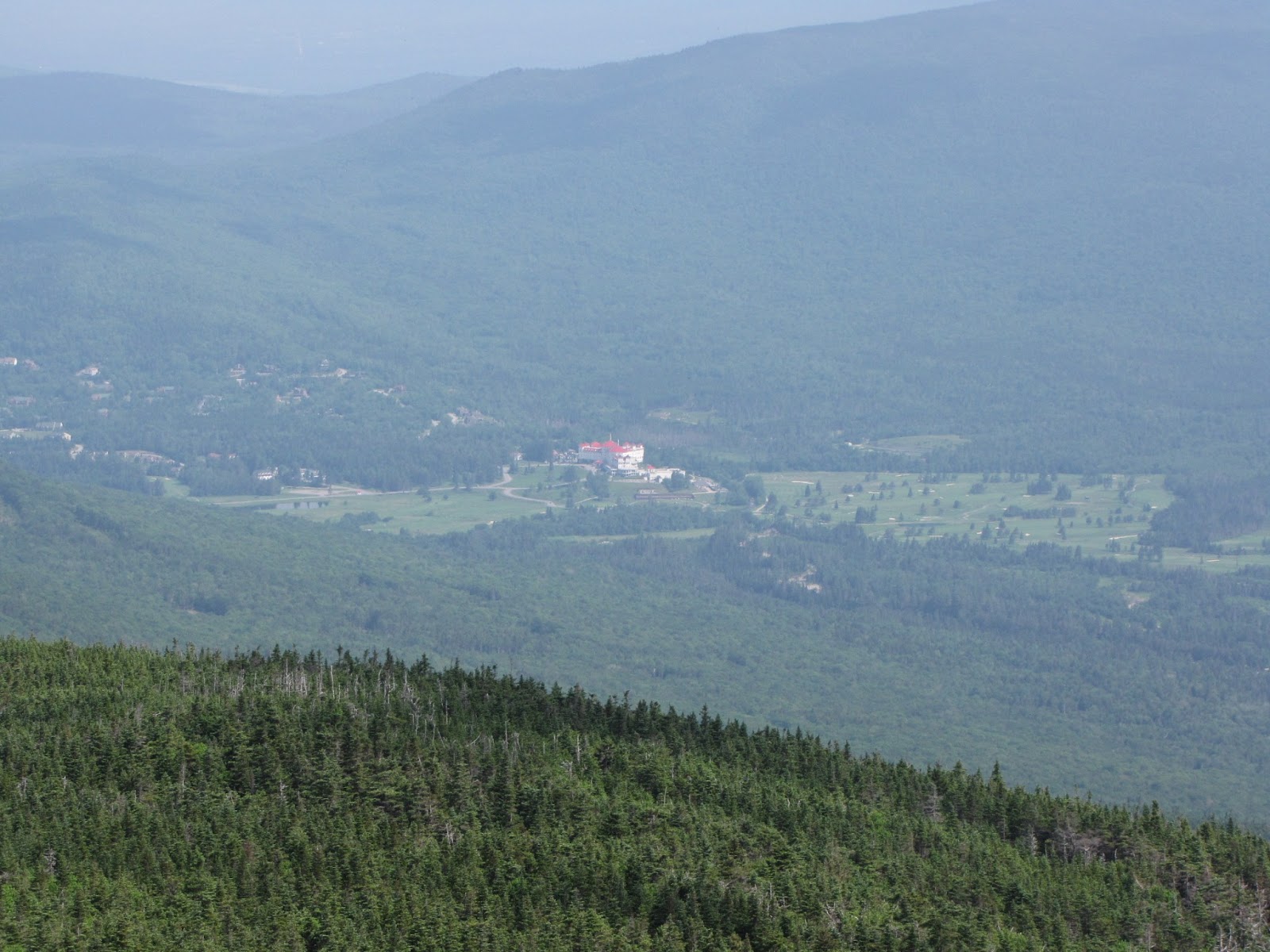
Back at the trailhead, a couple views of where I'd been.


Beaver Pond near Lost River on Rt. 112.   Beaver Brook runs into it.  Trail goes up ravine at center.


Tuesday, July 9, 2013

71>71 4th Howk --- July 9, 2013


4th Howk (NE shoulder to Madison) because it's on my new list.  If you wonder what that is, see a June post, 71>71 --- My New List.
A fun and interesting day.  Began early at Howker Ridge trailhead off Pinkham B Road for an up and back hike.  Weather was gray with occasional drizzle.  Stayed that way till just before end of hike when  peeks of sun shone through.

Trail begins on a side hill swamp.


But soon follows Bumpas Brook with interesting water features.


After the brook is the Bear Pit and a beautiful stand of Spruce.


Remember this spot!


Up over Howk 1, 2 and 3 to Howk #4 was wet.  At one point I saw a slug climbing up a spider web off the saturated ground!


At 4th Howk, even though it rained, the alpines were making a show.


On the way down I began to think I might see a moose because of all the moose poop on 1st Howk.


When I got to the thick young spruces, near the Bear Pit, I stopped to admire them again ------ and something in them moved!


Then it appeared up out of the greenery.  I tried to make it take the shape of a moose, but it didn't.  Then it struck me ---- it's a bear!  It's a very big bear.  It's right in my face.  Does it have a cub?  I may be in deep shit here.  Do black bear bury their kill like grizzles do?  I may never be seen again!  Instinctively my hiking poles came up to the ready and I yelled.  The bear fell forward back down on it's front legs, but that made it appear to be lunging ahead.  I yelled again.  The shrubbry thrashed, there was some grunting ------- and the bear ran away from me!  As I said earlier, it was an interesting day to be out in the woods!


Thursday, June 27, 2013

71>71 Tom, Field & Willey --- June 27th, 2013

Lucky Day!

I had been anxious to get in a hike this week because I know I'll have to miss some weeks in July when I begin a remodeling project here at camp.  But the weather forecasts have been horrible and my chances were looking ify.  Then I came up with a plan that let me bail out at two different points if the rain got bad.  It worked perfectly.  I bagged three peaks, felt only a light sprinkle of rain and, I saw a Pine Marten!

I don't keep any formal "Bucket List" but if I did, seeing a Pine Marten in the wild would be near the top.  Why?  Because I had never seen one and I've always wanted to.  I have come upon most all the other creatures that frequent places up high --- the Canada Jays, Lynx, Moose, Spruce Grouse, etc. but this one had eluded me ----- till today.


"Looking for three piles of stone in the woods" is a phrase I might have used to describe today's hike if I hadn't seen the Marten.  The summits of Tom, Field and Willey are wooded.  Cairns identify them.  Views are found only at open ledges or fir waves.


Tom's summit cairn


Field


Willey


The day began foggy but then brightened till some heavier weather again during early afternoon.

Trailhead is at the Crawford Notch RR station


Early the trial is in nice stands of birch

but then transisions to mixed woods nearer the ridge.


Wooded ridge walks are always a lot of fun.  I'm convinced that Bilbo Baggins lives up here --------------


But of course there is the wind, and blowdowns -------------


I had just come out of this mess when I saw the Pine Marten step on to the trail about 20 feet ahead of me.  I fumbled for my camera, it looked at me then jumped off trail and disappeared.  So I do not have photographic evidence --- but I'll keep trying!                                                        (Thanks for all your work, Trailcrew!)


A few views:

Field form Tom


Tom from Field


Willey from Field


Carrigain Notch


telephoto of Mt. Washington Hotel


And there were some nice cascades on the brook near the end:


Looking back up at Field and Tom from the parking lot:


###