The past few days have been hot and humid and today was forecast to be the same. I am not a fan of "hot and humid" but I did want to climb today.
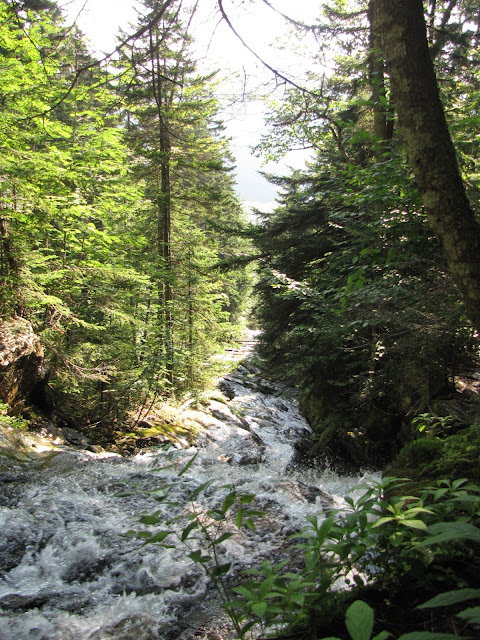
So Jim, by way of Beaver Brook and Asquam Ridge Trails was an easy choice ----- up a north facing, well shaded ravine along side a brook with many waterfalls, then a short walk along a wooded ridge to Jim's summit. Likely cooler than a lot of other more sun exposed trails today ---- and it's short. Only about 4.4 miles round trip.
However, gaining about 2400 feet in 2.2 miles makes for a steep trail ----- and Beaver Brook is that!
Steepness itself doesn't bother me but the monotony of going straight up then looking ahead to more of the same does become wearisome. The many cascades and waterfalls right at trail's edge on Beaver Brook, however, easily break any monotony.
Another interesting feature of Beaver Brook is the trail making skill that has gone into it's construction. I was intrigued by the fact that at some point a trail maker had to bushwhack their way up along the brook and after seeing all the obstacles, still be willing to begin building it ---- so that the rest of us could have access to the beauty in that tight little ravine.
I was also awed by someone's more recent artistic skill (I didn't touch them!)
Jim's summit was anti climatic, but the ridge walk just before it was nice and a breeze kept it comfortable.
Back at the trailhead, a couple views of where I'd been.
 |
| Beaver Pond near Lost River on Rt. 112. Beaver Brook runs into it. Trail goes up ravine at center. |


No comments:
Post a Comment