Thursday, May 29, 2014

71>71 Garfield May 29, 2014

What a day to be on Mt. Garfield!  A comfortable temperature, gentle breeze, practically no bugs, few other  people, wildlife, wildflowers, and skies clear enough to suck your eyeballs out!  Garfield is the pointy peak that shows up so prominently to the northeast of Lafayette.


I went up and back on the Garfield Trail from the north.  It's a 10 mile round trip with mostly moderate grades.  Much of the trail follows an old tractor road used during the 1940's to access a fire tower.  A concrete foundation still remains on the summit ledges and I found one telephone pole about half way up the trail.


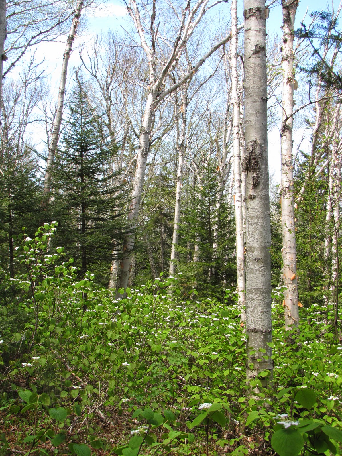
I love being in the woods in Spring.  I find myself "looking" more during this season --- there's so much to see!  I've been through a few Springs during my lifetime and still I don't tire of them.  I think I like the newness of it all.  Lucky me!
Some of today's wild flowers:

Wood Anemone

Rose Mandarin

Trout Lily


A stand of Moose Hobble

And there was wildlife too.  I heard a steady chorus of rat-tat-tats from woodpeckers and dull drumming from partridge, but never saw them.  Nor did I see the moose that I startled at a bend in the trail.  But I was able to get photos of a chattering red squirrel and an elusive Hermit Thrush:


I had planned to eat my lunch at the summit -- and I did, but I hadn't planned to be so mesmerized by the views.  I lingered there awhile!
To the north is civilization (and a huge scar on the landscape from Cassella's landfill in Bethlehem.)  I won't post a picture of it.  But to the east and west are the Twin and Franconia Ranges.  And to the south is the Pemi Wilderness ---- spectacular!!!!!!!!

North and South Twin.  The speck at center-right is the Galehead AMC hut
The "back side" of the Franconia Range

The Pemi Wilderness with Owl's Head featured ever so prominently.

But now it's time to leave the summit.  Here's a short video clip to give you a feel for the hike down:

Oops, Blogger won't process the video.  Sorry.


Wednesday, May 21, 2014

71>71 --- Tecumseh May 21, 2014 (Finally,back at it)

Wednesday May 21st, 2014

Today I got out for my first 4000 footer hike of the season.  What a great feeling.
I did start small ----- Tecumseh is one of the two lowest NH 4000 footers.  Relative little elevation gain and just five miles total distance.  Two years ago after doing Tecumseh as my first of the season I had to pull to the edge of the road while driving home because I got a cramp in my leg.  Not so this year.  I'm reading that to mean I'm in better shape now than I was two years ago.  But, before I get to cocky,  I better see how I feel tomorrow morning!
I have just 20 peaks left to finish my 71 four thousand footers after age 71 list.  I'm feeling pretty confident that I can complete the list between now and October (12 to 14 hikes will hit all 20 summits.)
This is an especially pleasant time of year to be out in the woods.  The air is still cool, there are few bugs yet, and every thing is young and breaking out with exuberance --- young leaves of every shade of green, bold flower blossoms, animals scurrying, birds chirping.  Here are a few photos of today's hike:

Yes, it was a beautiful day.

Trout Lilies


Trillium

Moose Hobble

Probably the work of a Pileated 


Tecumseh's summit through the trees at about the half way point.  They're never as distant as they appear!  Just keep plodding along.

Quirky trail sign


Tecumseh summit
Tripyramids

Osceolas


Sunday, January 5, 2014

Thank You!

I want to tell those of you who are winter hiking, and posting your stories, how much I appreciate your reports and photos.  I tune in daily to VFTT and Facebook's 4000 Footer Club sites reading your posts.  It is through all of you that I am getting my winter hiking "fix" and I appreciate it a lot.
In my last post here I explained why I wouldn't be hiking this past fall (a remodeling project demanded all my time.)  Why I'm not hiking in the winter is a different story.  Over the years I have spent some of time in the winter woods, and I love it.  I would still like to be there ----- but my better judgement (my damn practical side) has convinced me that it's best if I don't venture out in the cold, sometimes above treeline, with Raynaudy fingers, alone, at this stage in my life.  So I live vicariously through your reports ------ and, surprisingly, they are satisfying my urge to be out there!
Come spring I'll be back on the trail.  This may well be the year I finish my 71>71 List!  Until then I'll try to keep in shape with a little X-country skiing out on the lake:


Thank you all.  Enjoy yourselves ------ and keep posting your stories please.

Wednesday, September 11, 2013

Peakbagging on hold

I won't be able to do many hikes this fall ----- and I'm finding out just how much I miss the whole experience.  I imagine it as similar to going through some sort of withdrawal process.  There is regret, but I get by that knowing what's holding me back is important too.  Just after Labor Day I began a long planned (I mean, really long planned) and greatly anticipated remodeling project here at camp.  I have a contractor but I'm also doing some of the work myself.  Between coordinating with Jeff, running "gofer" trips for him and doing my own work, I'm damn busy ----- and enjoying it.
But, every day I think of where I could be hiking.  I imagine the trip planning, the early morning wake-ups, the climb, the views, the special places I love so much --- brooks, beautiful timber stands, ledges and craggy places, being above treeline!  I also miss the tired, but amazingly rewarding, feeling as I climb back into my truck at the end of a day so well spent.
And then there is The List.  I surprise myself when I realize that I am now, again, a "peakbagger."  Early in my life I was that, then I grew away from it ----- in fact I would have argued against that mindset.  But here I am back at it.  I enjoyed finishing off my 48.  My 71>71 List has taken over a big chunk of my time and thinking.  I have no answer to the question as to why I hike or why I keep checking off a list of bagged peaks ----- other than to say, "I hike because I like it."  Sorry, that's not philosophically revealing I know, but does it have to be?  I'm comfortable with it.  Rather than ponder it more deeply, I'd rather take a hike!
Till I can get up high again, bag a peak or two, and have pictures to post on this blog, here are a few photos of the project taking my time and energy right now.


Monday, August 26, 2013

71>71 Washington and 3 other "lesser" peaks --- August 25th, 2013

How many days out of the year is the summit of Mt. Washington in brilliant sunshine, warm, with practically no wind?  Not many, but 8/25/13 was one of the few!

Anyone from the Northeast, happening to read this, will know how amazingly beautiful the weather was this past weekend.  In fact, it caused me to break with a standing tradition of not hiking on weekends (another of this crowd-averse, self indulgent retiree's perks.)
I've needed to check off some of the highest peaks from my list and was beginning to realize that I ought to do them soon while the odds of good weather were best.  The plan came together Saturday evening with the added advantage that one of my daughter's was able to hike with me. Audrey has just begun tackling her 48 4000 footers.  This hike was #4 for her and #'s 47,48,49 & 50 for my 71>71 list.

Yes, you could see "forever."

We began on the Jewell Trail about 7:00 am.  This was my first time on Jewell in spite of always having had a fascination with his story -----Winfield Jewell had worked at the Mt. Washington Observatory, or what ever it was called at the time, but then was accepted as a member of the Greely Expedition to the arctic in the late 1800's.  Only six of the team survived after they were abandoned on Ellesmere Island for three years.  Winfield was not one of the survivors.  His remains are buried at the Lisbon, NH cemetery near my family's plot.  Fittingly, a trail on Mt.Washington was named in his honor.

Greely Expedition members.  Winfield Jewell, seated, second from right
On a happier note ----- Jewell's spirit, I'm sure, was relishing in the warmth of the abundant sunshine on the Mountain this past weekend.  Everyone was out enjoying it at the summit.  At least it appeared that way as we approached the summit sign for the obligatory photo.  We forgo waiting in line for a "close to" picture.  After all, we had other peaks to climb!

They came by trail, Cog Rail and Auto Road to get here!
The other peaks on my 71>71 list, but not on Audrey's 48 list, we were able to bag today were Ball Crag at 6112 feet of elevation, Nelson Crag at 5635 feet and Mt. Clay at 5533.  Fitting them all together involved a series of trails, many ups and downs, and a short rock whack.  Every one of the 13 miles was enjoyable!  (Well, maybe a couple of them "tested us" a bit.)
Ball summit
Nelson summit

Then it was off to Mt. Clay passing by the auto road, the cog and impressive Great Gulf.


The Great Gulf with Mt. Clay forming it's westerly flank.
 Finally we had to leave --- back down into the scrub and the woods and the end of our enjoyable 11 hour day above treeline.


###


Tuesday, August 13, 2013

71>71 Boott Spur then Both Monroes & Franklin --- Aug. 12, 2013

A beautiful day wandering around above treeline.


Began on Ammo Ravine Trail from base of the Cog RR.  It's steep but everything along  the way makes it enjoyable.  And, it's the shortest route to Lakes of the Clouds AMC hut ---- my base of operations for the day.


Cog across the ravine.


First view of LOC hut.

And one of the "lakes."

After a short snack at LOC I was off on Camel and Davis trails, across Bigelow Lawn to Boott Spur on the southern rim of Tuckermen's Ravine.  Clouds were still blowing by as I began.  Families leaving the hut were bundling their kids with hats and mittens.  They would soon be shed though, as the clouds rose and the sun warmed us all.


Washington summit with clouds rising.


Looking across Tuckermen's from Boott


Boott Spur


Looking  back toward the rest of my day --- R to L, The Hill on Bigelow Lawn, LOC in col, up to Monroe (center,) Little Monroe (nub to left of Big M,) Franklin (end of flat ridge to left of Monroes.)
Coming down Camel trail to LOC with Monroe behind.


Retraced my route back to LOC, more lunch, then up over Monroe Loop Trail for both Monroes, then out to Franklin, then back on Crawford path to LOC again.

Now LOC with Washinton in back

Monroe

From Little M looking to Franklin

From Franklin looking to both Monroes.  Dry River Wilderness Basin to the right.

On the hike back to LOC, even though most of the Alpine flowers have past their blooming flush, I was reminded of what a unique area I was in ----


Back at the hut a large group had gathered outside.  We were all distracted from our visiting by a lovely aroma.  I noticed the kids eyeing fresh bread the crew had just put in the window to cool.  One of the three young AT hikers I was talking with said, "they better move that bread real quick or there's going to be a big fiasco here!"


Fresh from the oven., can you smell it?

I hated to leave, but needed nearly 3 hours (I'm not speedy, especially at the end of the day) for the trip back to my truck so I took off back down Ammo Ravine.  Luckly, the waterfalls along the trail helped me forget what I was leaving back above treeline.

Looking in to Ammo Ravine.

My favorites

Gem Pool


Ans so I ended another great day in the mountains ---- but gathered up lots of new memories!