Wednesday, July 31, 2013

71>71 Adams' July 31, 2013 (or, A morning with Sam & Abigail)

In the Northern Presidentials there are at least four named peaks in the Adams Family.  Mt. Adams (John) at 5799 feet, John Quincy Adams to the northeast at 5410, Sam Adams to the west at 5585 and Abigail Adams further out toward the northwest at 5355.  All but JQ are on my 71>71 list.  I hiked Mt. Adams last September but now needed to bag Sam and Abigail.
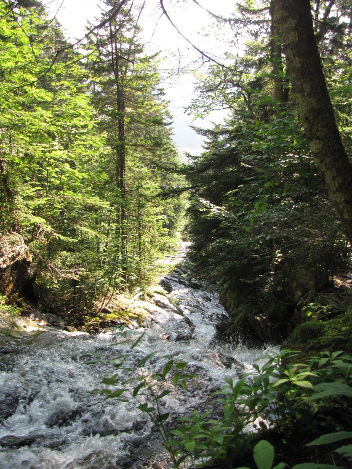
One didn't need to be especially weather clever this week, watching the forecasts, to figure out that Wednesday was going to be a great day to be above treeline.  So my plans were made, and I was at the Appalachia parking lot and on Airline Trail at 5:15 this morning.

That early in the day the woods are still dark, but soon the sun peeked through.  Watching the woods light up and seeing the color changes was fun.  My reverie was interrupted only by a Pileated Woodpecker jack hammering on a hollow tree trunk right above me and by a woman running a Presi-Traverse that came up behind me rather quickly.


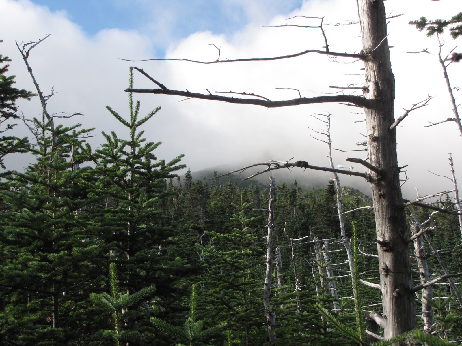
As the morning wore on I broke out of the woods into scrub and on to the Knife Edge along side King Ravine.  Morning fog and clouds were lifting fast off the peaks above.  Impressive.


Airline Trail comes up the rocky ridge in center of photo.

Across the Ravine you can see Randolph Mt. Club's Crag Camp and in the other direction, AMC's Madison Springs Hut.


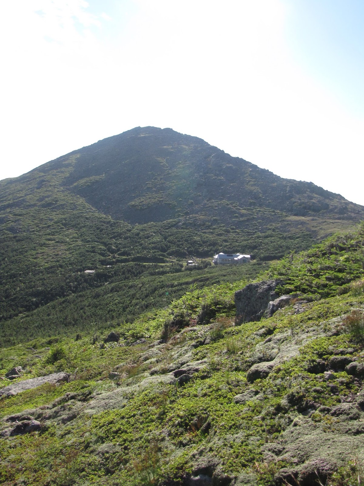
Sam and Abigail, my destinations, are shown here.  And after following Gulfside Trail to Thunder Storm Jct. I stumbled my way up the rock pile that is Sam Adams.


Sam, center.  Abigail, right.  


Sam's summit with Washington in background.


Then Abigail and down Lowe's Path and The Link Trail to complete my loop


Mt. Cranberry

Diapensia

Back in the woods and after what seemed like "forever," something soft underfoot!


A great day.  Sam & Abigail, probably more hospitable today than Uncle Fester & Morticia!


Tuesday, July 16, 2013

71>71 Jim --- 7/16/13

Mt. Jim is not an AMC  4000 Footer.  It doesn't rise 200 feet above it's connecting ridge with Mt. Mooseilauke (and/or Mt. Blue.)  But it is 4172 feet high, rises 100 feet off it's ridge and it has a trail to within a few feet of it's summit, so it's on my 71>71 List.  It also perfectly fit the bill for a peak to climb today.
The past few days have been hot and humid and today was forecast to be the same.  I am not a fan of "hot and humid" but I did want to climb today.
So Jim, by way of Beaver Brook and Asquam Ridge Trails was an easy choice ----- up a north facing, well shaded ravine along side a brook with many waterfalls, then a short walk along a wooded ridge to Jim's summit.  Likely cooler than a lot of other more sun exposed trails today ---- and it's short.  Only about 4.4 miles round trip.
However, gaining about 2400 feet in 2.2 miles makes for a steep trail ----- and Beaver Brook is that!


Steepness itself doesn't bother me but the monotony of going straight up then looking ahead to more of the same does become wearisome.  The many cascades and waterfalls right at trail's edge on Beaver Brook, however, easily break any monotony.


Another interesting feature of Beaver Brook is the trail making skill that has gone into it's construction.  I was intrigued by the fact that at some point a trail maker had to bushwhack their way up along the brook and after seeing all the obstacles, still be willing to begin building it ---- so that the rest of us could have access to the beauty in that tight little ravine.


I was also awed by someone's more recent artistic skill (I didn't touch them!)


Jim's summit was anti climatic, but the ridge walk just before it was nice and a breeze kept it comfortable.


Back at the trailhead, a couple views of where I'd been.


Beaver Pond near Lost River on Rt. 112.   Beaver Brook runs into it.  Trail goes up ravine at center.


Tuesday, July 9, 2013

71>71 4th Howk --- July 9, 2013


4th Howk (NE shoulder to Madison) because it's on my new list.  If you wonder what that is, see a June post, 71>71 --- My New List.
A fun and interesting day.  Began early at Howker Ridge trailhead off Pinkham B Road for an up and back hike.  Weather was gray with occasional drizzle.  Stayed that way till just before end of hike when  peeks of sun shone through.

Trail begins on a side hill swamp.


But soon follows Bumpas Brook with interesting water features.


After the brook is the Bear Pit and a beautiful stand of Spruce.


Remember this spot!


Up over Howk 1, 2 and 3 to Howk #4 was wet.  At one point I saw a slug climbing up a spider web off the saturated ground!


At 4th Howk, even though it rained, the alpines were making a show.


On the way down I began to think I might see a moose because of all the moose poop on 1st Howk.


When I got to the thick young spruces, near the Bear Pit, I stopped to admire them again ------ and something in them moved!


Then it appeared up out of the greenery.  I tried to make it take the shape of a moose, but it didn't.  Then it struck me ---- it's a bear!  It's a very big bear.  It's right in my face.  Does it have a cub?  I may be in deep shit here.  Do black bear bury their kill like grizzles do?  I may never be seen again!  Instinctively my hiking poles came up to the ready and I yelled.  The bear fell forward back down on it's front legs, but that made it appear to be lunging ahead.  I yelled again.  The shrubbry thrashed, there was some grunting ------- and the bear ran away from me!  As I said earlier, it was an interesting day to be out in the woods!