Wednesday, September 11, 2013

Peakbagging on hold

I won't be able to do many hikes this fall ----- and I'm finding out just how much I miss the whole experience.  I imagine it as similar to going through some sort of withdrawal process.  There is regret, but I get by that knowing what's holding me back is important too.  Just after Labor Day I began a long planned (I mean, really long planned) and greatly anticipated remodeling project here at camp.  I have a contractor but I'm also doing some of the work myself.  Between coordinating with Jeff, running "gofer" trips for him and doing my own work, I'm damn busy ----- and enjoying it.
But, every day I think of where I could be hiking.  I imagine the trip planning, the early morning wake-ups, the climb, the views, the special places I love so much --- brooks, beautiful timber stands, ledges and craggy places, being above treeline!  I also miss the tired, but amazingly rewarding, feeling as I climb back into my truck at the end of a day so well spent.
And then there is The List.  I surprise myself when I realize that I am now, again, a "peakbagger."  Early in my life I was that, then I grew away from it ----- in fact I would have argued against that mindset.  But here I am back at it.  I enjoyed finishing off my 48.  My 71>71 List has taken over a big chunk of my time and thinking.  I have no answer to the question as to why I hike or why I keep checking off a list of bagged peaks ----- other than to say, "I hike because I like it."  Sorry, that's not philosophically revealing I know, but does it have to be?  I'm comfortable with it.  Rather than ponder it more deeply, I'd rather take a hike!
Till I can get up high again, bag a peak or two, and have pictures to post on this blog, here are a few photos of the project taking my time and energy right now.


Monday, August 26, 2013

71>71 Washington and 3 other "lesser" peaks --- August 25th, 2013

How many days out of the year is the summit of Mt. Washington in brilliant sunshine, warm, with practically no wind?  Not many, but 8/25/13 was one of the few!

Anyone from the Northeast, happening to read this, will know how amazingly beautiful the weather was this past weekend.  In fact, it caused me to break with a standing tradition of not hiking on weekends (another of this crowd-averse, self indulgent retiree's perks.)
I've needed to check off some of the highest peaks from my list and was beginning to realize that I ought to do them soon while the odds of good weather were best.  The plan came together Saturday evening with the added advantage that one of my daughter's was able to hike with me. Audrey has just begun tackling her 48 4000 footers.  This hike was #4 for her and #'s 47,48,49 & 50 for my 71>71 list.

Yes, you could see "forever."

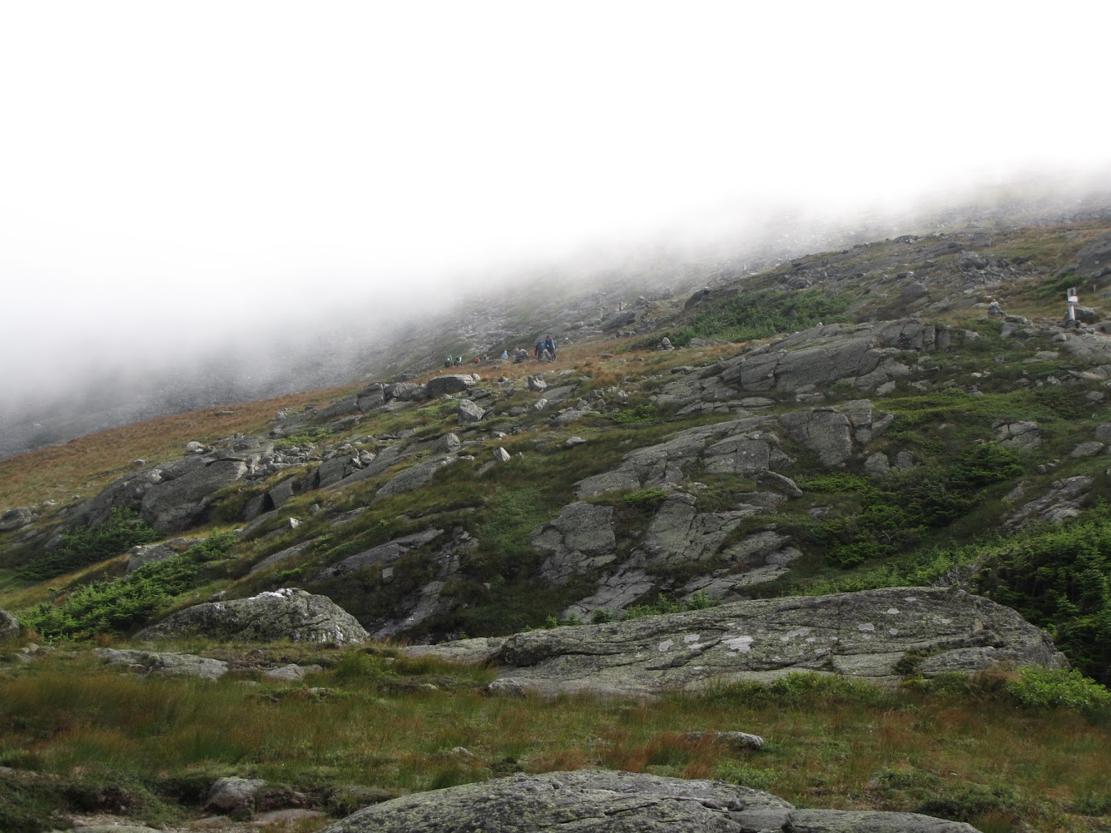
We began on the Jewell Trail about 7:00 am.  This was my first time on Jewell in spite of always having had a fascination with his story -----Winfield Jewell had worked at the Mt. Washington Observatory, or what ever it was called at the time, but then was accepted as a member of the Greely Expedition to the arctic in the late 1800's.  Only six of the team survived after they were abandoned on Ellesmere Island for three years.  Winfield was not one of the survivors.  His remains are buried at the Lisbon, NH cemetery near my family's plot.  Fittingly, a trail on Mt.Washington was named in his honor.

Greely Expedition members.  Winfield Jewell, seated, second from right
On a happier note ----- Jewell's spirit, I'm sure, was relishing in the warmth of the abundant sunshine on the Mountain this past weekend.  Everyone was out enjoying it at the summit.  At least it appeared that way as we approached the summit sign for the obligatory photo.  We forgo waiting in line for a "close to" picture.  After all, we had other peaks to climb!

They came by trail, Cog Rail and Auto Road to get here!
The other peaks on my 71>71 list, but not on Audrey's 48 list, we were able to bag today were Ball Crag at 6112 feet of elevation, Nelson Crag at 5635 feet and Mt. Clay at 5533.  Fitting them all together involved a series of trails, many ups and downs, and a short rock whack.  Every one of the 13 miles was enjoyable!  (Well, maybe a couple of them "tested us" a bit.)
Ball summit
Nelson summit

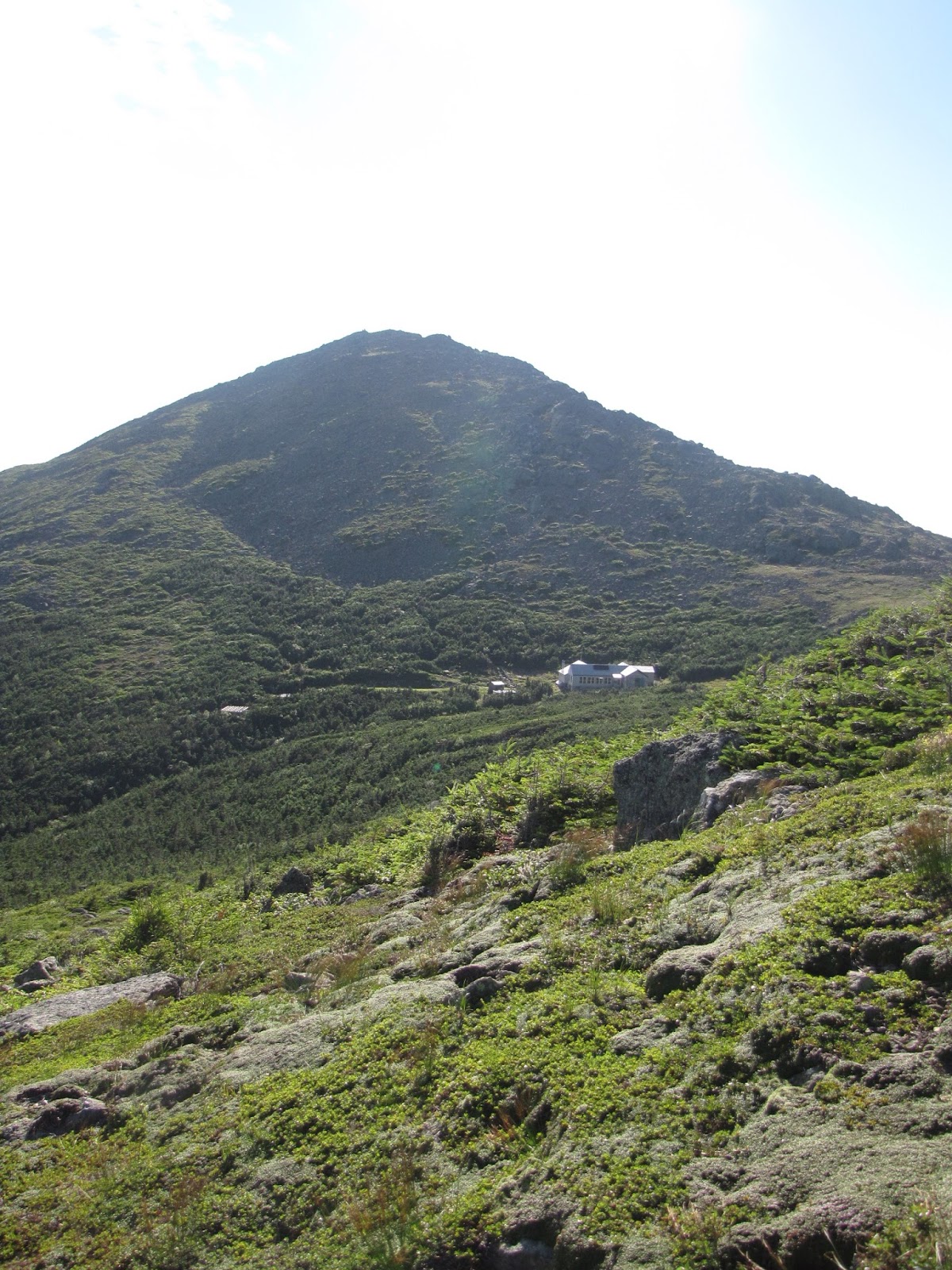
Then it was off to Mt. Clay passing by the auto road, the cog and impressive Great Gulf.


The Great Gulf with Mt. Clay forming it's westerly flank.
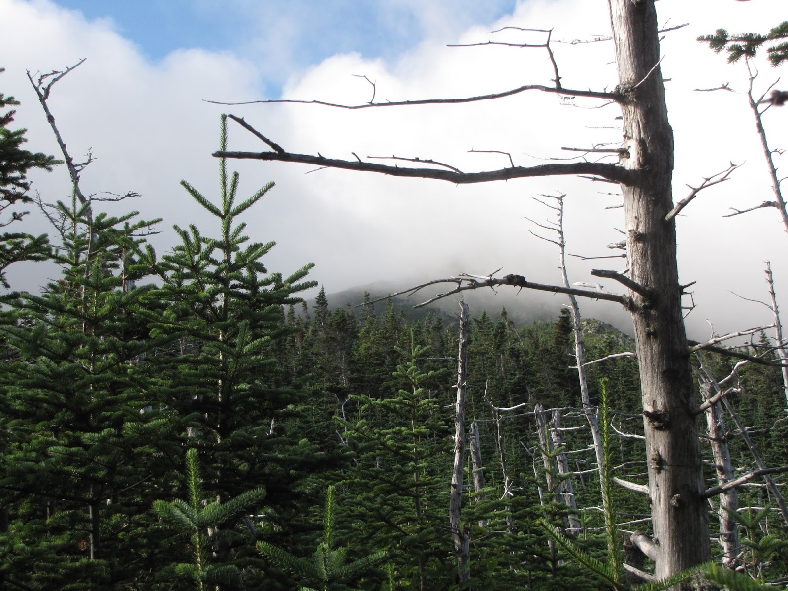
 Finally we had to leave --- back down into the scrub and the woods and the end of our enjoyable 11 hour day above treeline.


###


Tuesday, August 13, 2013

71>71 Boott Spur then Both Monroes & Franklin --- Aug. 12, 2013

A beautiful day wandering around above treeline.


Began on Ammo Ravine Trail from base of the Cog RR.  It's steep but everything along  the way makes it enjoyable.  And, it's the shortest route to Lakes of the Clouds AMC hut ---- my base of operations for the day.


Cog across the ravine.


First view of LOC hut.

And one of the "lakes."

After a short snack at LOC I was off on Camel and Davis trails, across Bigelow Lawn to Boott Spur on the southern rim of Tuckermen's Ravine.  Clouds were still blowing by as I began.  Families leaving the hut were bundling their kids with hats and mittens.  They would soon be shed though, as the clouds rose and the sun warmed us all.


Washington summit with clouds rising.


Looking across Tuckermen's from Boott


Boott Spur


Looking  back toward the rest of my day --- R to L, The Hill on Bigelow Lawn, LOC in col, up to Monroe (center,) Little Monroe (nub to left of Big M,) Franklin (end of flat ridge to left of Monroes.)
Coming down Camel trail to LOC with Monroe behind.


Retraced my route back to LOC, more lunch, then up over Monroe Loop Trail for both Monroes, then out to Franklin, then back on Crawford path to LOC again.

Now LOC with Washinton in back

Monroe

From Little M looking to Franklin

From Franklin looking to both Monroes.  Dry River Wilderness Basin to the right.

On the hike back to LOC, even though most of the Alpine flowers have past their blooming flush, I was reminded of what a unique area I was in ----


Back at the hut a large group had gathered outside.  We were all distracted from our visiting by a lovely aroma.  I noticed the kids eyeing fresh bread the crew had just put in the window to cool.  One of the three young AT hikers I was talking with said, "they better move that bread real quick or there's going to be a big fiasco here!"


Fresh from the oven., can you smell it?

I hated to leave, but needed nearly 3 hours (I'm not speedy, especially at the end of the day) for the trip back to my truck so I took off back down Ammo Ravine.  Luckly, the waterfalls along the trail helped me forget what I was leaving back above treeline.

Looking in to Ammo Ravine.

My favorites

Gem Pool


Ans so I ended another great day in the mountains ---- but gathered up lots of new memories!


Wednesday, July 31, 2013

71>71 Adams' July 31, 2013 (or, A morning with Sam & Abigail)

In the Northern Presidentials there are at least four named peaks in the Adams Family.  Mt. Adams (John) at 5799 feet, John Quincy Adams to the northeast at 5410, Sam Adams to the west at 5585 and Abigail Adams further out toward the northwest at 5355.  All but JQ are on my 71>71 list.  I hiked Mt. Adams last September but now needed to bag Sam and Abigail.
One didn't need to be especially weather clever this week, watching the forecasts, to figure out that Wednesday was going to be a great day to be above treeline.  So my plans were made, and I was at the Appalachia parking lot and on Airline Trail at 5:15 this morning.

That early in the day the woods are still dark, but soon the sun peeked through.  Watching the woods light up and seeing the color changes was fun.  My reverie was interrupted only by a Pileated Woodpecker jack hammering on a hollow tree trunk right above me and by a woman running a Presi-Traverse that came up behind me rather quickly.


As the morning wore on I broke out of the woods into scrub and on to the Knife Edge along side King Ravine.  Morning fog and clouds were lifting fast off the peaks above.  Impressive.


Airline Trail comes up the rocky ridge in center of photo.

Across the Ravine you can see Randolph Mt. Club's Crag Camp and in the other direction, AMC's Madison Springs Hut.


Sam and Abigail, my destinations, are shown here.  And after following Gulfside Trail to Thunder Storm Jct. I stumbled my way up the rock pile that is Sam Adams.


Sam, center.  Abigail, right.  


Sam's summit with Washington in background.


Then Abigail and down Lowe's Path and The Link Trail to complete my loop


Mt. Cranberry

Diapensia

Back in the woods and after what seemed like "forever," something soft underfoot!


A great day.  Sam & Abigail, probably more hospitable today than Uncle Fester & Morticia!